Lower Lusatia Mining Route
The Lower Lusatia Mining Route is a journey of discovery through more than 150 years of lignite mining history. The long-distance cycle route runs for over 500km through southern Brandenburg, with a short section in northern Saxony. Along the way you can explore a mix of industrial heritage, such as the stops along the ENERGY Route, picturesque towns and villages, colossal open-cast mines and newly transformed landscapes.
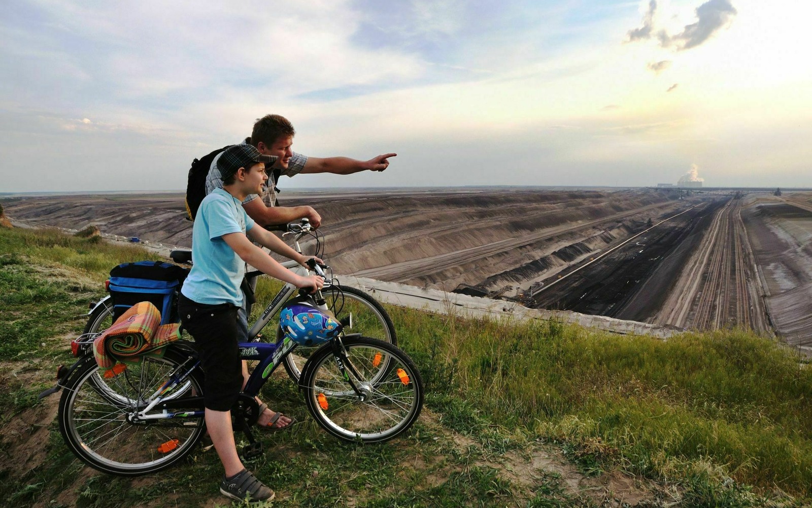
Wherever you look as you’re cycling along there is evidence of the intensive mining of brown coal, including the remaining active quarries with their huge excavators. Vantage points looking out across the three working open-cast mines reveal wide expanses of land and gargantuan machines. And if these views from a distance are not enough, there are special tours that take you down to the coalface. A number of stops along the mining route bring to life working conditions in days gone by, engineering history and the everyday life of the miners.
Das Video kann nicht von YouTube geladen werden, da Sie in den Cookie-Einstellungen externen Inhalten nicht zugestimmt haben.
- Knappenrode Energy Factory is one of the places that demonstrates how the mined coal was used. Three times a day, there’s an ear-splitting sound that used to indicate the beginning of a shift.
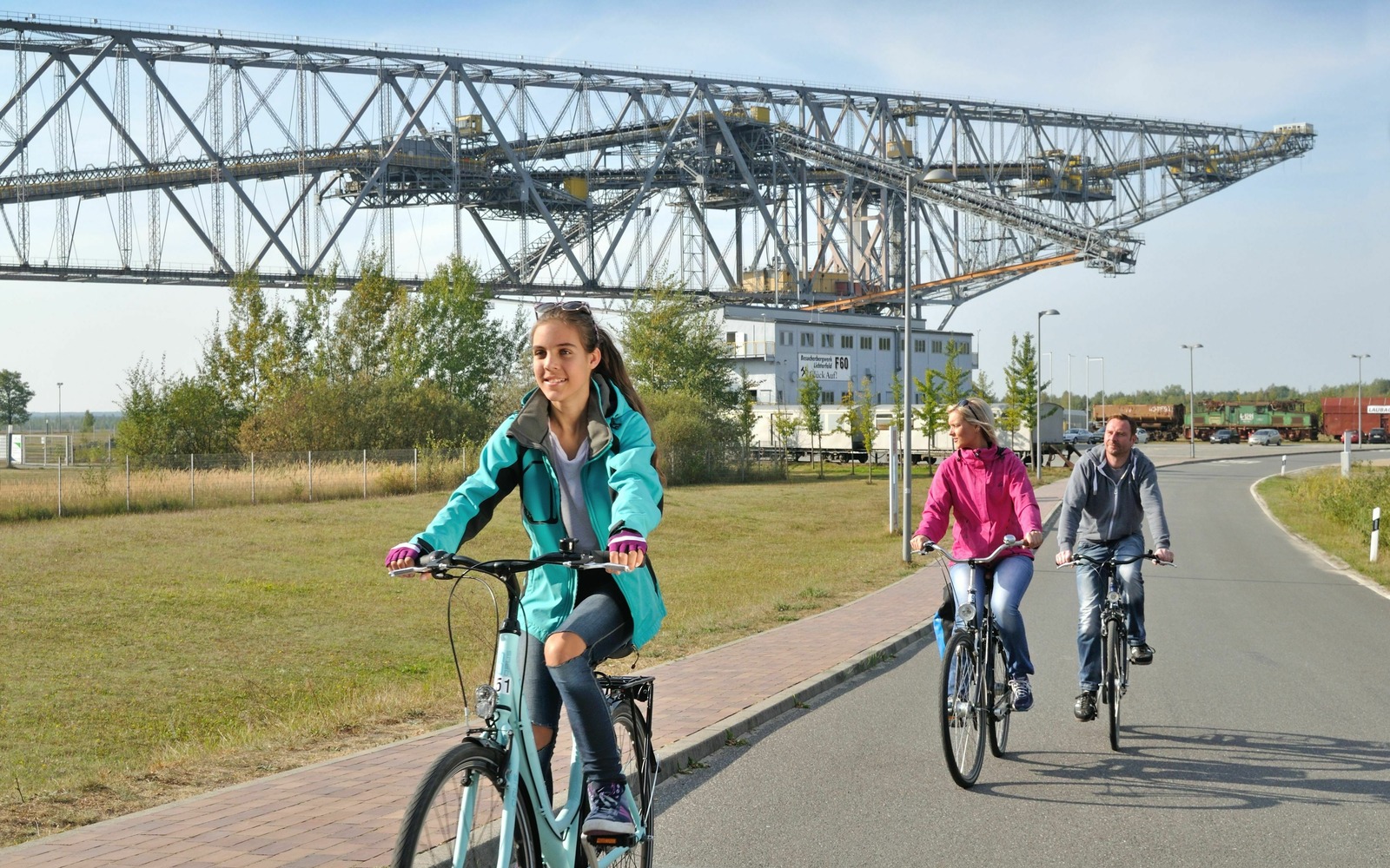
- At the F60 visitor mine you can marvel at the biggest piece of machinery in the world. Between heaven and earth on the ‘horizontal Eiffel tower’ of Lusatia you get to look out over the landscape from heights of up to 80 metres on guided tours.
- At the Dieselkraftwerk Art Museum in Cottbus you can admire modern art in the industrial setting of a former diesel-fired power station.
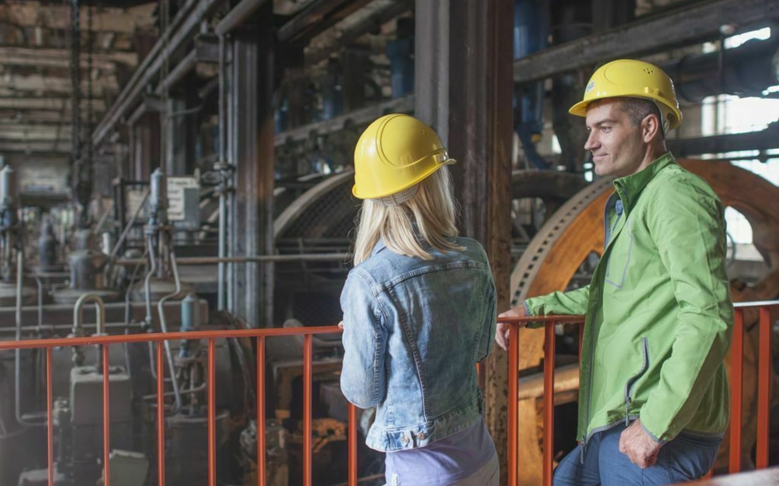
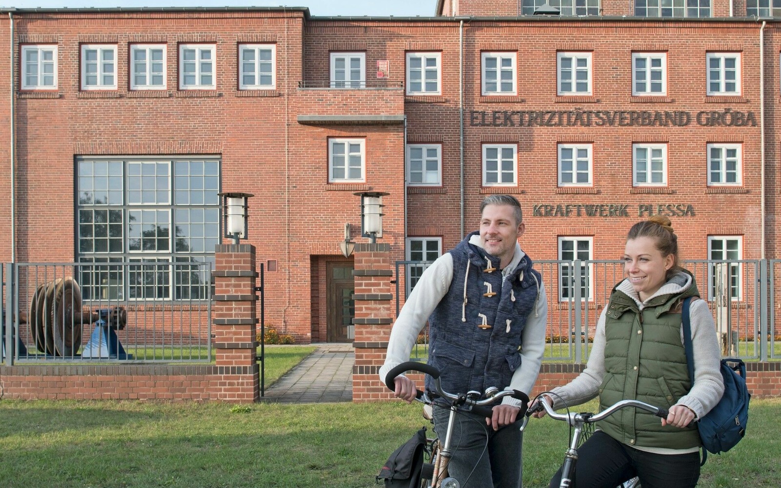
- One of the highlights of a visit to Kraftwerk Plessa power station is the impressive control centre.
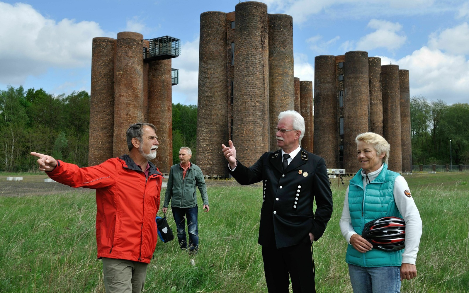
- The town of Lauchhammer is famed as much for ornamental casting as it is for coal and heavy engineering. The Biotürme towers of its former coking plant, now an industrial monument, offer unusual perspectives from two observation platforms.
- The Archive of Lost Towns (Archiv verschwundener Orte) documents the history of places in Lusatia that have had to make way for the open-cast mines.
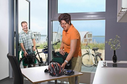
During the course of the cycling tour you find out how the landscapes left behind by mining are being renaturalised and turned into places of recreation. The best example is Lake Senftenberg, which has been popular with swimmers and water sports enthusiasts for four decades. Just a few kilometres further along is Lake Grossräschen, a part of the Lusatian Lakeland in the making. The IBA Terraces on its shore have a unique architecture.
Distance: 516km
Start/end: Senftenberg
Logo/route marker: Red devil on a bicycle
Route: Senftenberg, Schwarzheide, Lauchhammer, Klettwitz, Lichterfeld (detour), Freienhufen, Calau, Royal Drehna, Hindenberg, Gross Beuchow, Lübbenau/Spree Forest, Raddusch, Vetschau/Spree Forest, Wüstenhain, Casel, Kolkwitz, Cottbus, Teichland, Bärenbrück, Jänschwalde Kolonie, Drewitz, Kerkwitz, Griessen, Neu Sacro, Gosda, Gross Jamno, Gahry, Mattendorf, Döbern, Bohsdorf, Hornow, Bloischdorf, Sellessen, Spremberg, Spreewitz, Burg, Lohsa, Mortka, Knappenrode, Hoyerswerda, Burg, Spremberg, Steinitz, Geisendorf, Welzow, Neupetershain, Pritzen, Grossräschen, Sedlitz, Senftenberg
Please note that the route signposting is currently being revised. The track has already been adapted to the new route guidance. The signposting should be adapted in summer 2024.
Terrain: mostly asphalted cycle paths and cycle lanes, some sections also on side roads, unpaved paths or paved roads, some root ruptures, few gradients
Combination options:
- Seenland Route
- Prince Pückler Cycle Route
- Spree Cycle Route
- Oder-Neisse Cycle Route
Downloads
Route
Diese Karte kann nicht von Google Maps geladen werden, da Sie in den Datenschutz- und Cookie-Einstellungen externen Inhalten nicht zugestimmt haben.
Lower Lusatia Mining Route leaflet
You can download or order a free leaflet to get a better idea about the route before you start your tour. In addition to information about the route and a map, the leaflet also contains recommendations for attractions, accommodation options and bicycle hire firms along the way.
Order Lower Lusatia Mining Route leaflet (German)
Packages for your cycle tour on the Lower Lusatia Mining Route
You can book a set package or a custom itinerary for the Lower Lusatia Mining Route. All bookings include accommodation in quality mid-range hotels, maps and luggage transfers.
Zur Radreise Niederlausitzer Bergbautour
Recommended maps
Walking and cycling maps, published by Sachsen Kartographie GmbH:
- Landkreis Oberspreewald-Lausitz, 1:50.000, ISBN 978-3-86843-058-5
- Lausitzer Seenland, 1:50.000, ISBN 978-3-86843-021-9
Services for your cycling holiday
Holiday cyclists’ needs are well catered for all along the Lower Lusatia Mining Route, with a wide choice of cyclist-friendly Bed & Bike accommodation. Our tourist information offices will be happy to arrange accommodation along the Lower Lusatia Mining Route for you. Click the links below for an overview of Bed & Bike accommodation and bicycle hire firms in the Lusatian Lakeland.
- Cyclist-friendly Bed & Bike accommodation
- Bicycle hire firms
- Overview of tourist information offices
Notes about the route
The post-industrial landscapes are extremely sensitive, which means that some places are off limits and can only be admired from a distance. The regional mining administration company (LMBV) puts up signposts along the route notifying you of any restrictions and provides information online about temporary closures to cycle paths and areas being renaturalised. For the latest information see lmbv.de.
Travel
- By car via the A13 and A15 motorways
- By train to/from Senftenberg, Cottbus, Forst (Lausitz), Spremberg and Grossräschen
- Further information on travel to the region
About the red devil
The red devil is the emblem of the Rekord briquette company and the symbol for coal from Lusatia. It now also represents the Lower Lusatia Mining Route. The devil plays a prominent role in the myths and legends of Lusatia, more so than in most other parts of Germany. Almost anything bad that happens to people here is attributed to the devil, known as ‘Tscherenbog’ in the Sorbian language. As the mining folk say with a knowing smile: “God created Lusatia, and the devil hid the coal – but we found it and dug it all up again!”

