Heedekornweg - hiking trail
Circular trail between the Niederlausitzer Landrücken ridge and Calau Switzerland to the Plinsdörfer villages
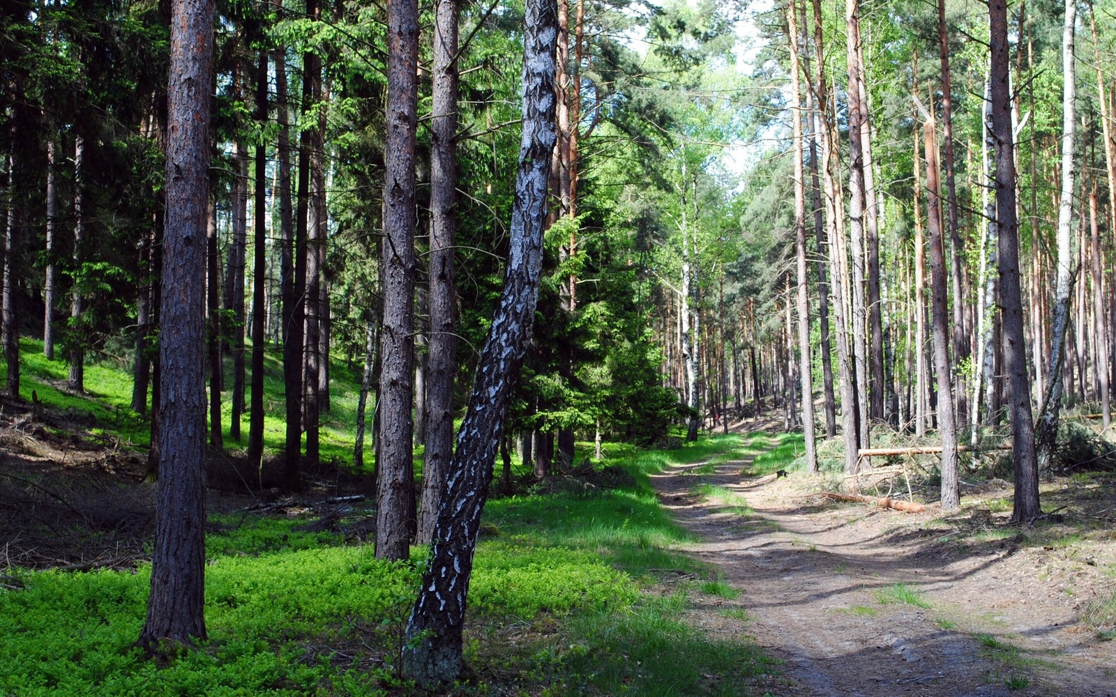
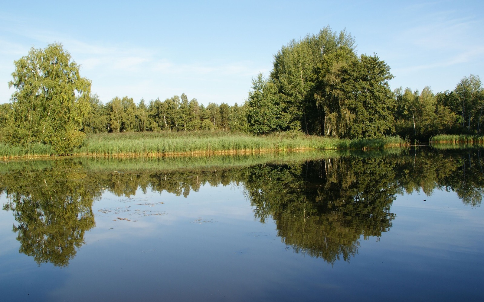
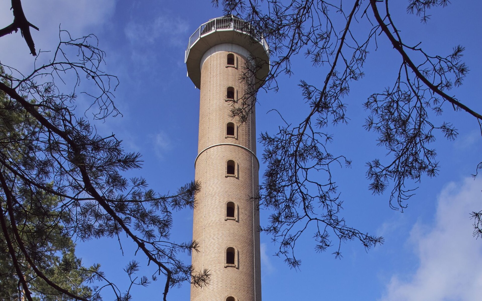
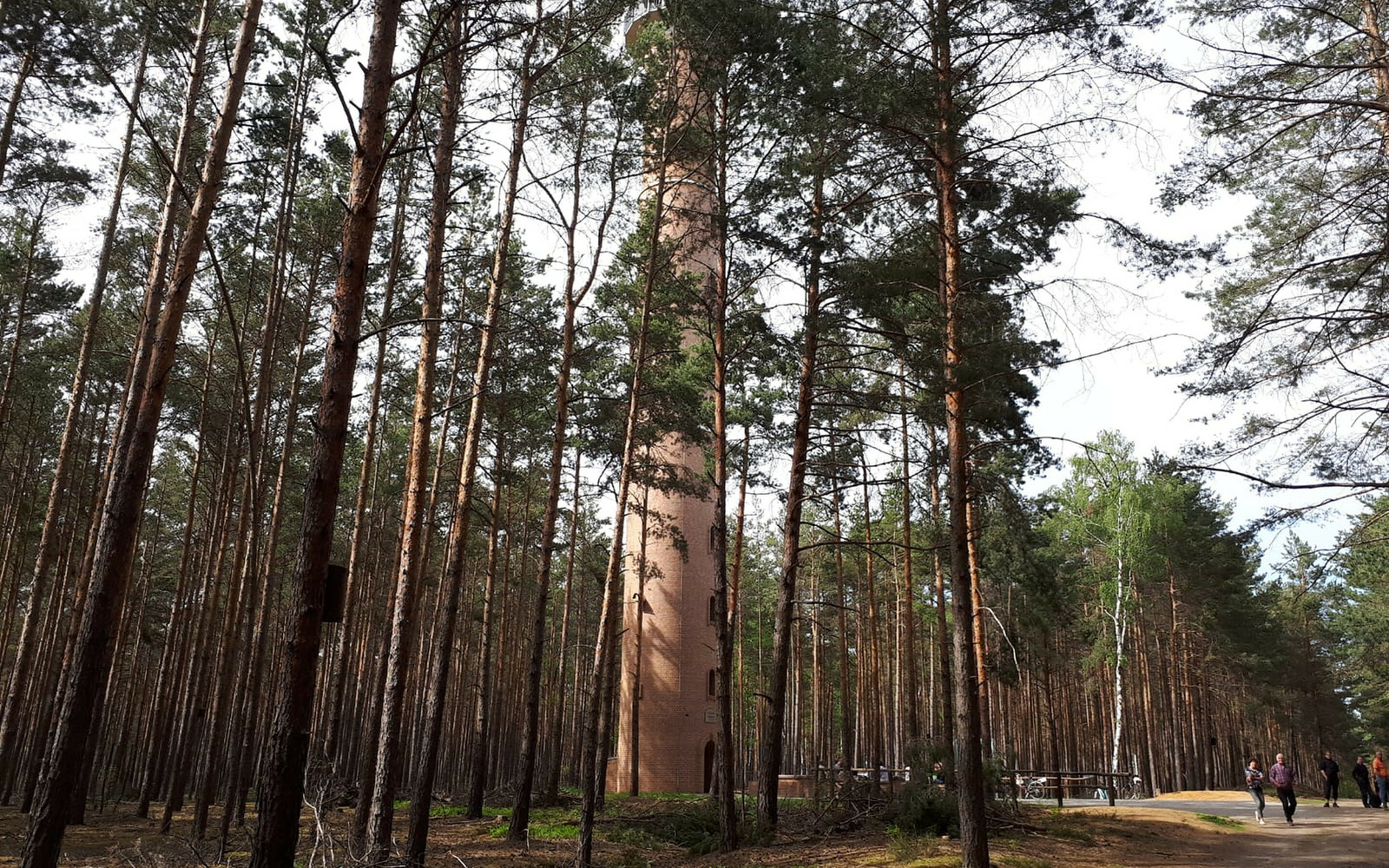
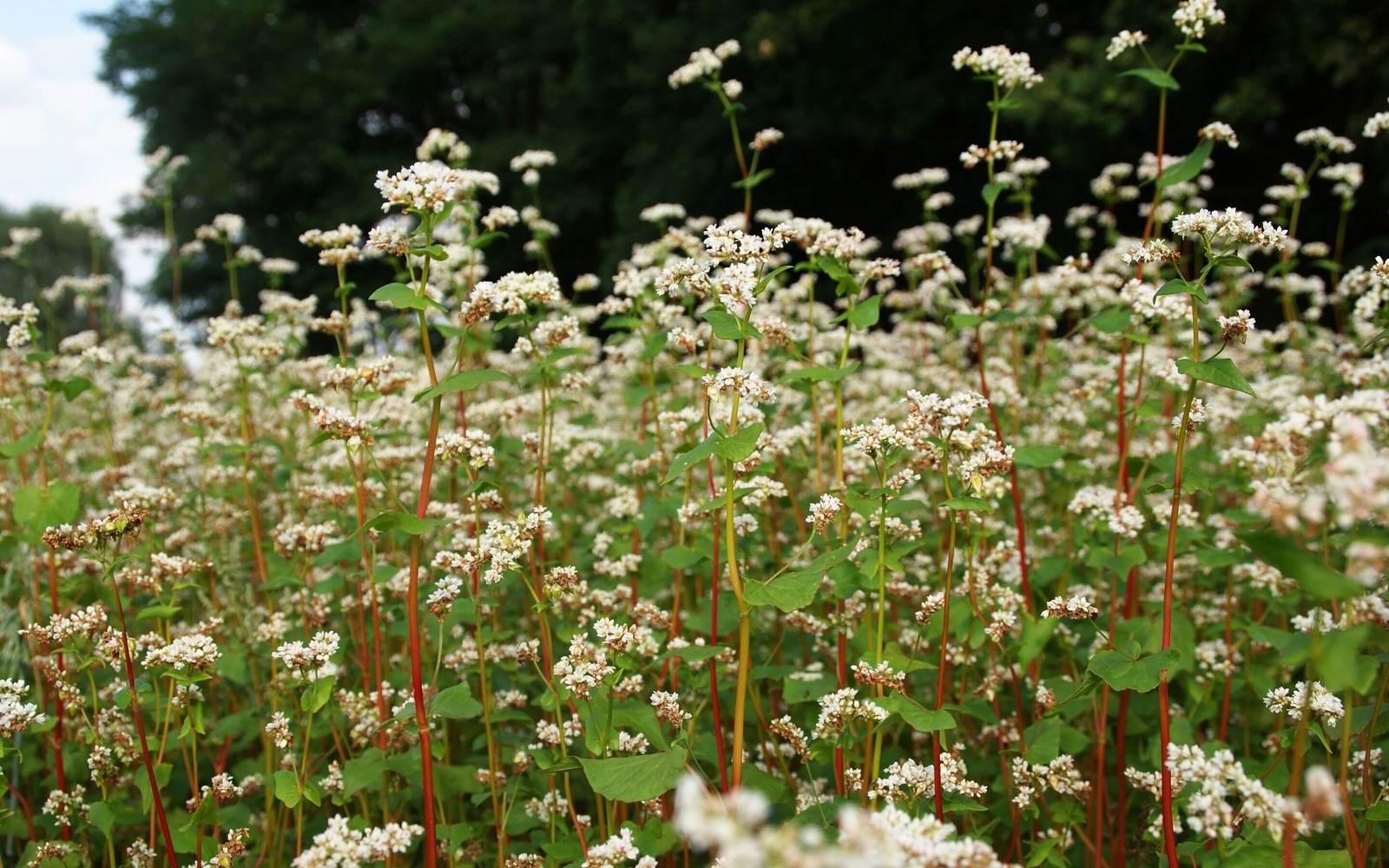
The circular trail, named after the regionally typical crop Heedekorn (buckwheat), runs between the "Niederlausitzer Landrücken" ridge and Calau Switzerland. A difference in altitude of almost 60 metres must be overcome during the hike. This is unusual for Lower Lusatia, but for guests it means a relaxed hike and full enjoyment of all the senses: from the frog concert at the pond, the silence in the vast forest, exploring the Plins villages and, of course, climbing the brick tower. A must for every hiker, climbing up to a height of 38 metres. A total of 216 steps have to be climbed to see the Jänschwalde power station near Cottbus, the F60 visitor mine or the Lusatian Mountains on a clear day. Incidentally, 93,850 clinker bricks from the former brickworks in Buchwäldchen were stacked on top of each other for the tower.
Length: 15 km (duration: approx. 5.5 hours)
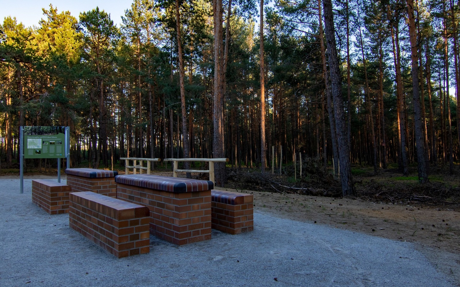
Start/finish: car park and rest area near Weißag, alternatively if arriving by train: directly at Luckaitztal station
Route: Weißag - Calau Switzerland vantage point - Buchwäldchen - Muckwar - Luckaitztal railway station - Zwietow - Weißag
Route markings/logo: yellow dot on white background
Arrival and departure:
Places of interest:
The circular trail, named after the regionally typical crop Heedekorn (buckwheat), runs between the "Niederlausitzer Landrücken" ridge and Calau Switzerland. A difference in altitude of almost 60 metres must be overcome during the hike. This is unusual for Lower Lusatia, but for guests it means a relaxed hike and full enjoyment of all the senses: from the frog concert at the pond, the silence in the vast forest, exploring the Plins villages and, of course, climbing the brick tower. A must for every hiker, climbing up to a height of 38 metres. A total of 216 steps have to be climbed to see the Jänschwalde power station near Cottbus, the F60 visitor mine or the Lusatian Mountains on a clear day. Incidentally, 93,850 clinker bricks from the former brickworks in Buchwäldchen were stacked on top of each other for the tower.
Length: 15 km (duration: approx. 5.5 hours)
Start/finish: car park and rest area near Weißag, alternatively if arriving by train: directly at Luckaitztal station
Route: Weißag - Calau Switzerland vantage point - Buchwäldchen - Muckwar - Luckaitztal railway station - Zwietow - Weißag
Route markings/logo: yellow dot on white background
Arrival and departure:
- Arrival by car: via the L53 (Calau - Altdöbern) to Muckwar; from the L55 (Calau - Bronkow) turn off to Gosda
- By train: Route can be started from Luckaitztal station (RE7 Dessau - Senftenberg, via Berlin)
Places of interest:
- Calau Switzerland nature reserve
- Buchwäldchen pond landscape nature reserve - Muckwar
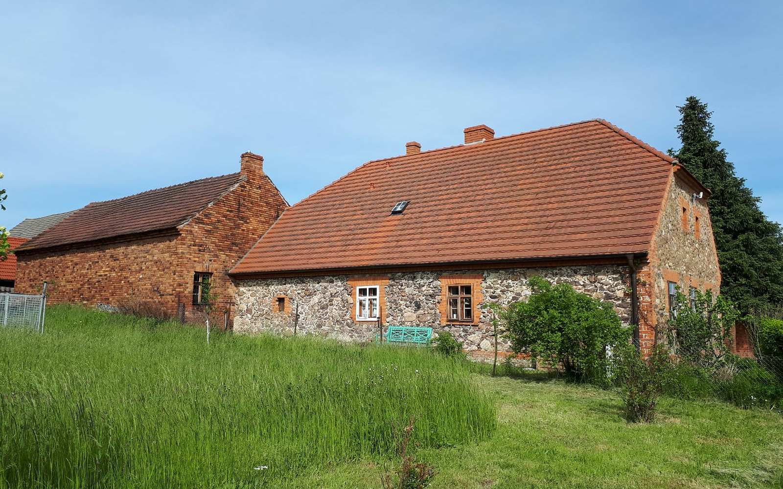
- Zwietow rough timber barn
- Zwietow windmill
- Zwietow fox mill
- Old mill Zwietow
- Plins villages: Zwietow, Weißag and Gosda
- Calau Switzerland lookout tower
- Heidesand holiday flat and inn in the mountains in Zwietow
- Gaumer's inn in Weißag
- Topographical leisure map 1:50,000, Niederlausitzer Landrücken Nature Park, ISBN: 978-3-7490-4081-0

Address
Cottbuser Straße 3203205 Calau
Contact details
Contact: Calauer Info-PunktTelephone: 03541-89580
Email: info@wbc-calau.de
Website: www.calauer.de
Diese Karte kann nicht von Google Maps geladen werden, da Sie in den Datenschutz- und Cookie-Einstellungen externen Inhalten nicht zugestimmt haben.
